Project
Client: Municipality of Kerkini
Area: Municipality of Kerkini, Prefecture of Serres
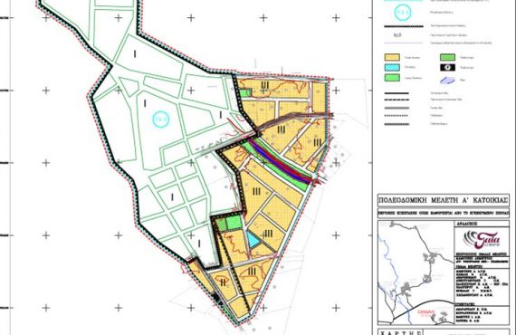
Study Category: City Planning (01) – Town Planning (02)
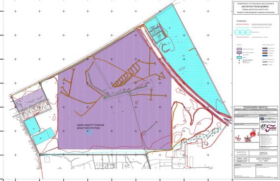
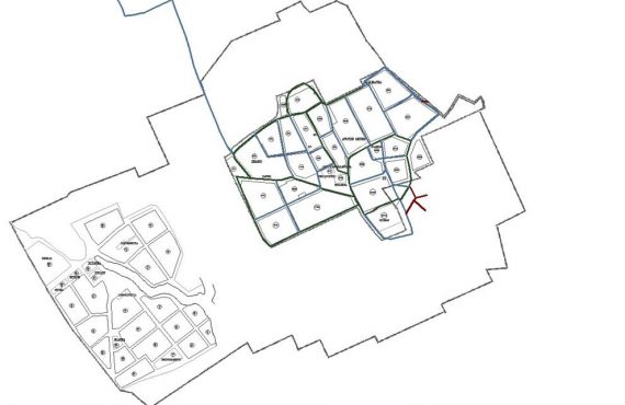
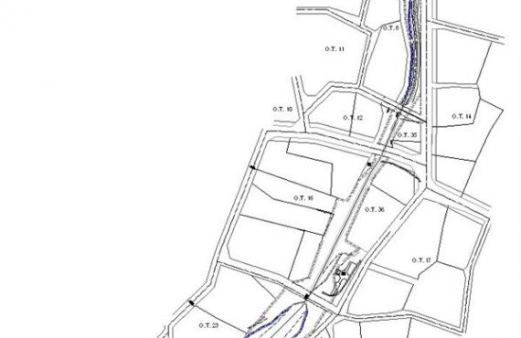
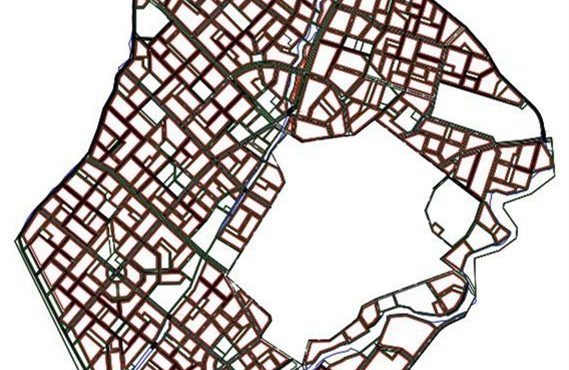
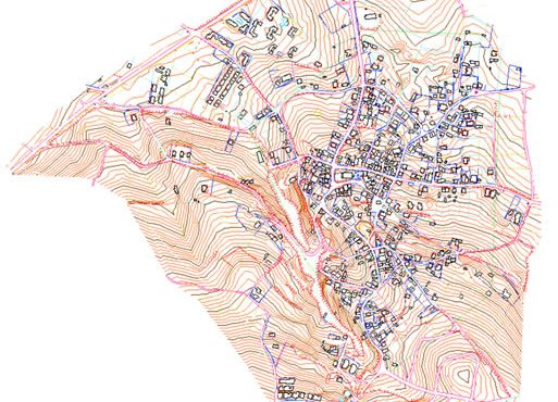
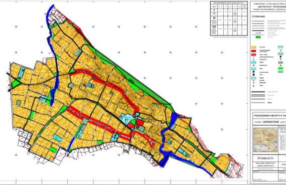
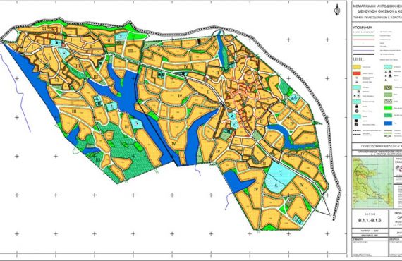
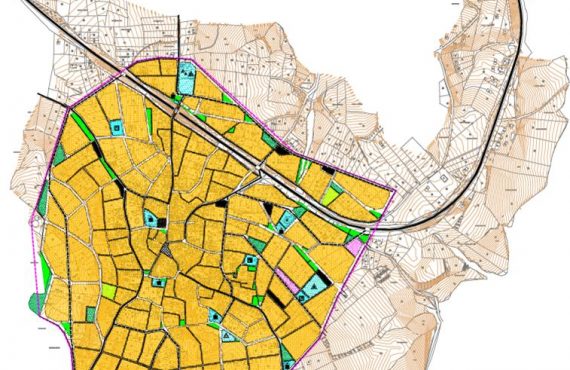
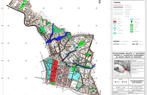
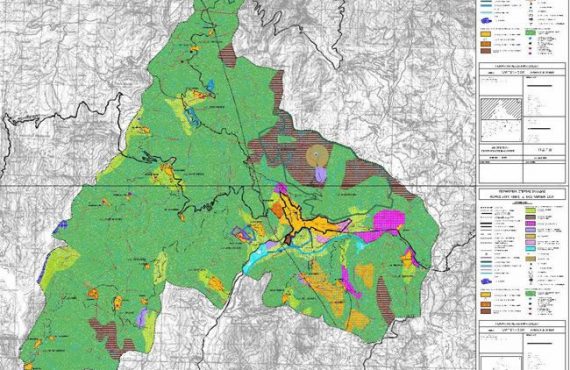
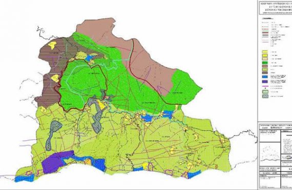
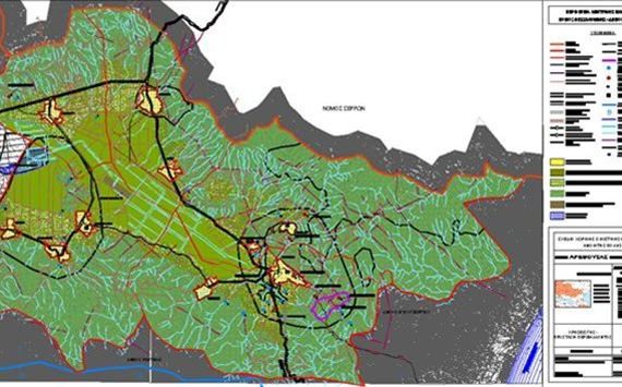
The Open City Spatial and Housing Organization Plan was approved in 2008, Government Gazette approval 30AAP/28-1-2008. The residential network of the Municipality is organized into three subdivisions based on their geographical proximity and their ease of access. These units are the Northern Unit that includes Kastanousa, Ano Kastanousa, Kalochori, Platanakia with an important center the Kastanousa, the Central Unit that includes the settlements of Rodopoli (headquarter of the Municipality), Odigitria, Anatoli, Theodoreio, Parapotamo, Kato Poroia, Sidirochori, Ano Poroia and Makrinitsa, with the most important urban center of the unit of the Municipality of Kerkini and the Eastern Unit that includes the settlements of Kerkini, Monastiraki, Stavrodromi, Livadia and Neochori with the most important center of Kerkini. Finally, the uses are also appropriately organized in the area outside the urban planning zone of the Municipality of Kerkini and the permitted uses and the terms of their construction are defined.