Project
Client: Municipality of Giannitsa
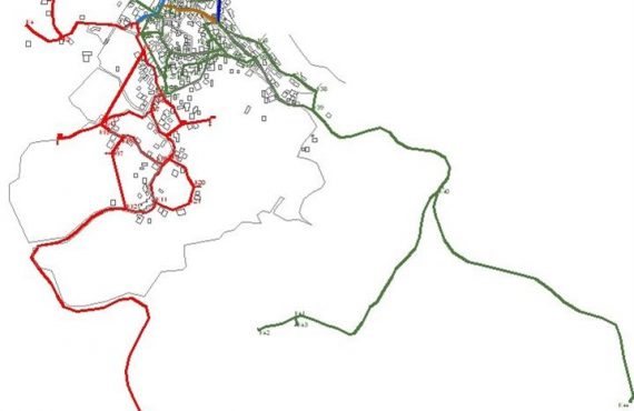
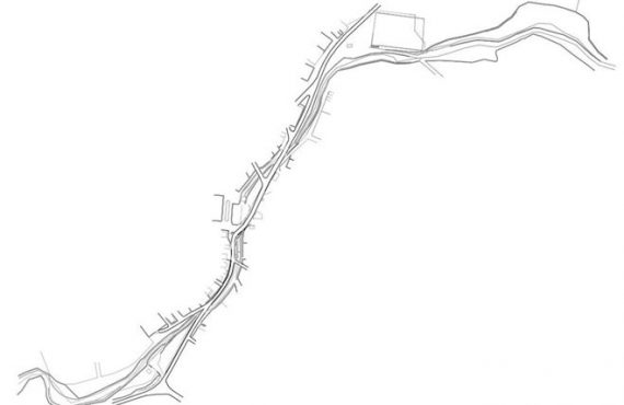
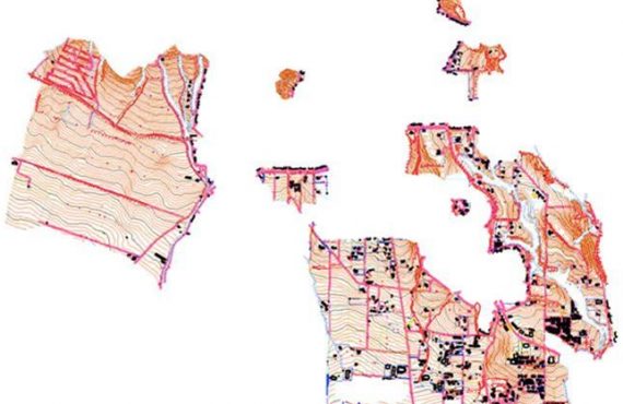
Area: Municipality of Giannitsa, Prefecture of Pella
Study Category: Town Planning (02) – Geological (20)
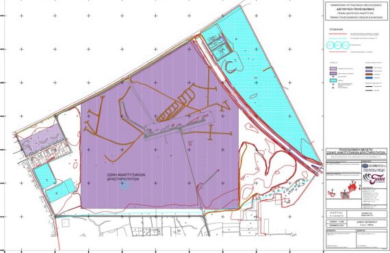
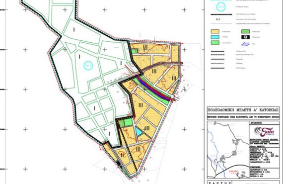
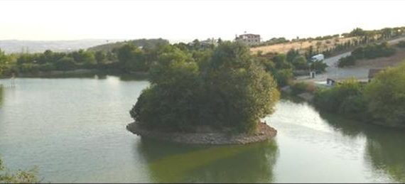
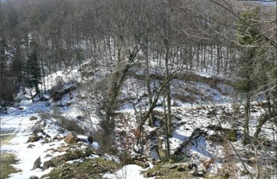
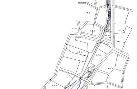
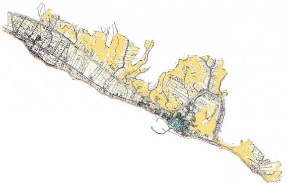
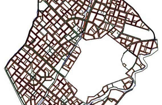
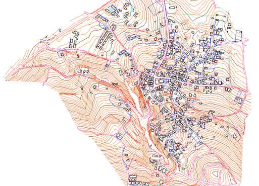
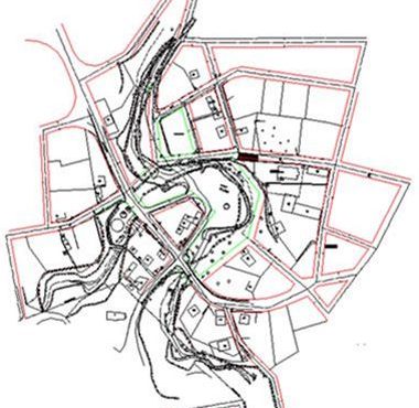
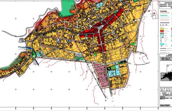
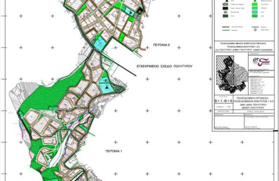
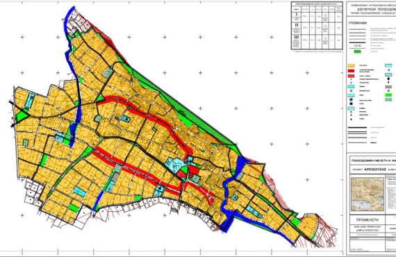
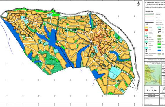
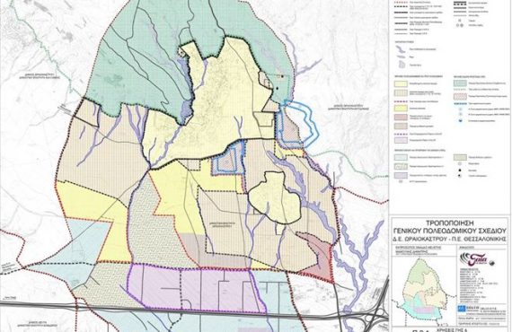
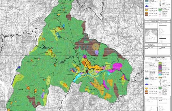
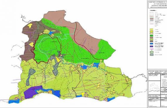
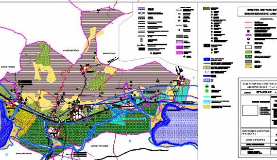
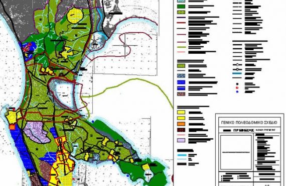
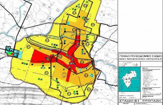
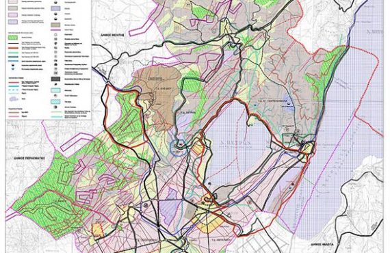
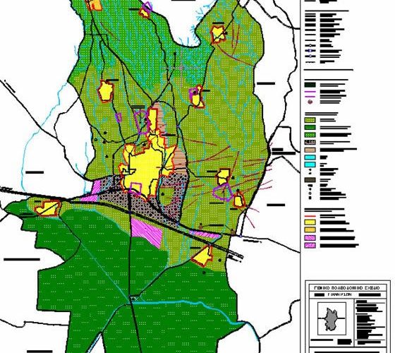
The General Urban Plan of the Municipality of Giannitsa was approved in 2009, Government Gazette approval 385AAP/6-8-2009. In the wider area of the Municipality, three spatial units are distinguished, the southern zone with the high productivity agricultural land, which brings together the agricultural crops and activities which defined as a high-productivity agricultural land protection area, the northern zone where the forest land belongs but also a Transitional Area of Control and Restriction of the Building, a zone for the protection of the forest and rural landscape and, finally, the central zone where residential and productive receptacles are being developed, the poles of urban services, the main transport routes and the basic infrastructure networks, also here are the most important sites of archaeological and cultural interest.