

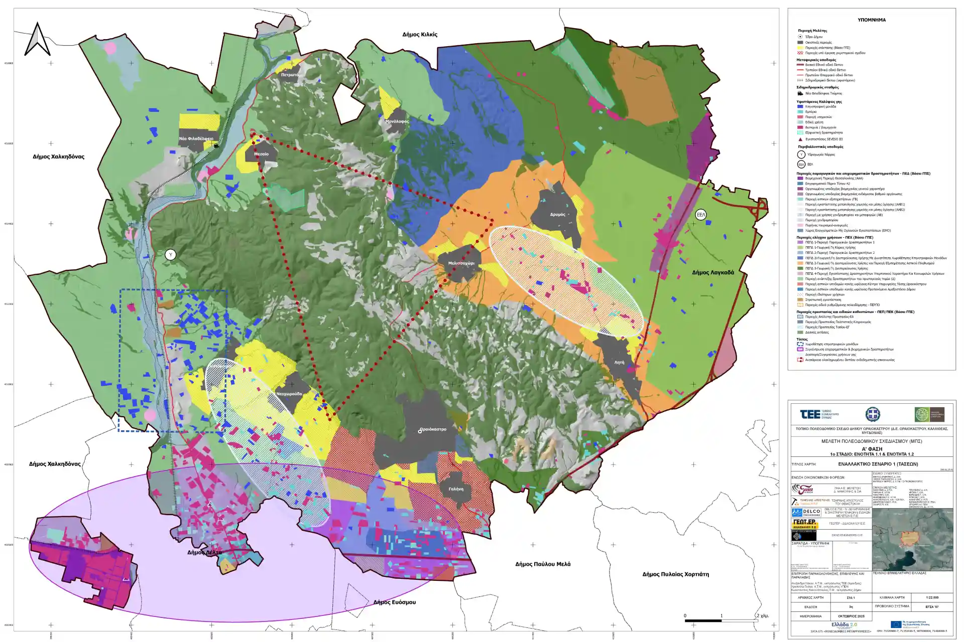
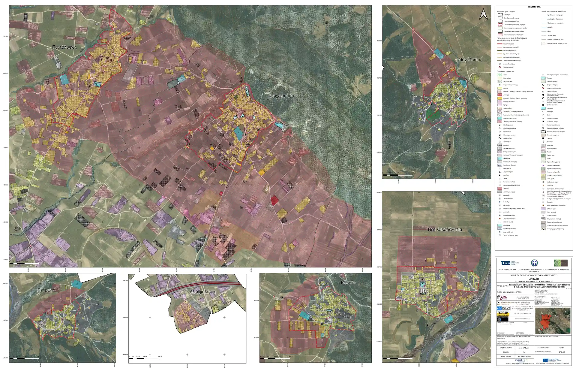
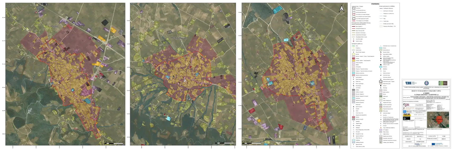
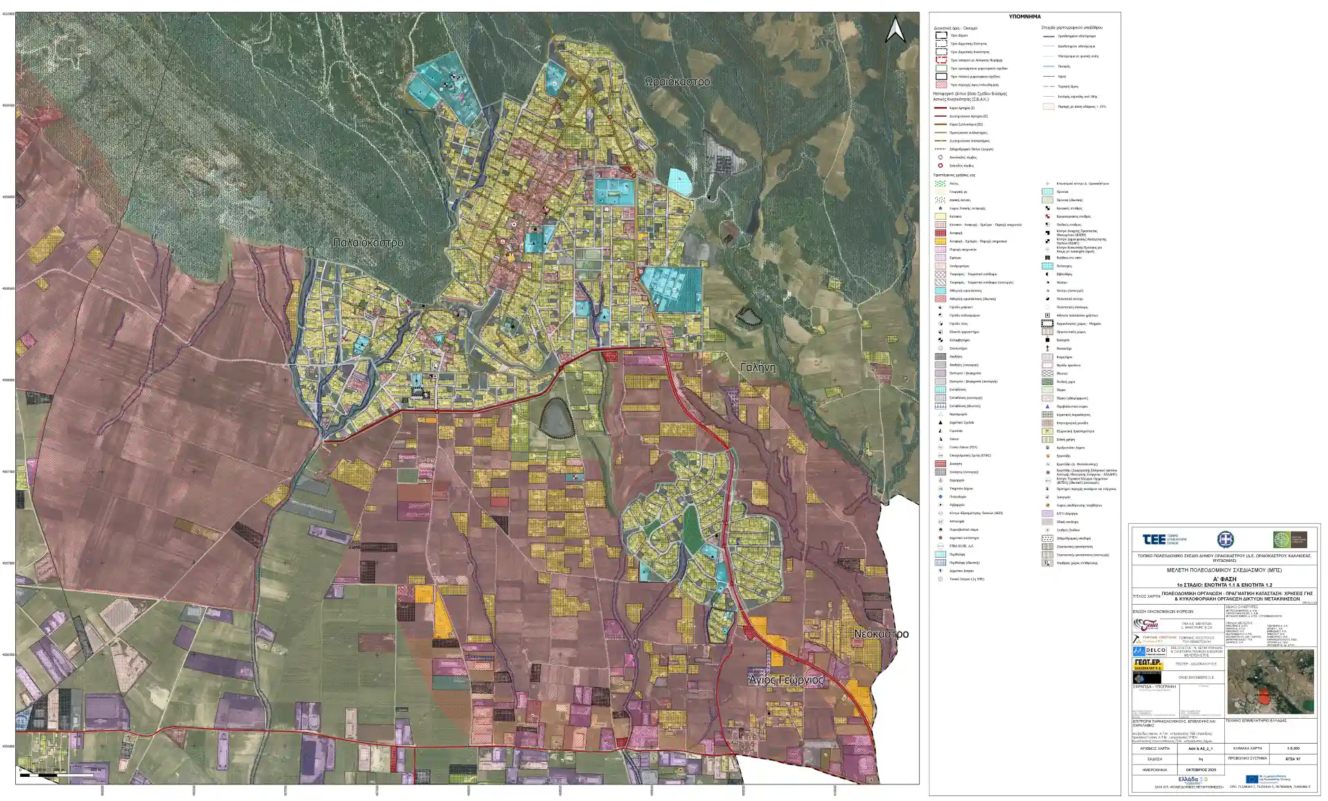
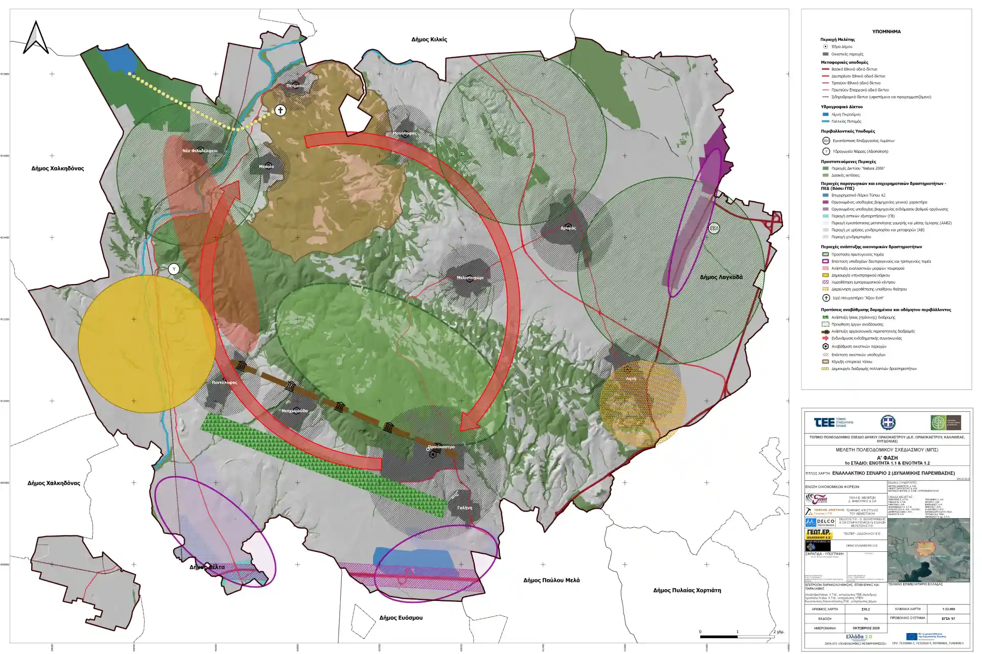
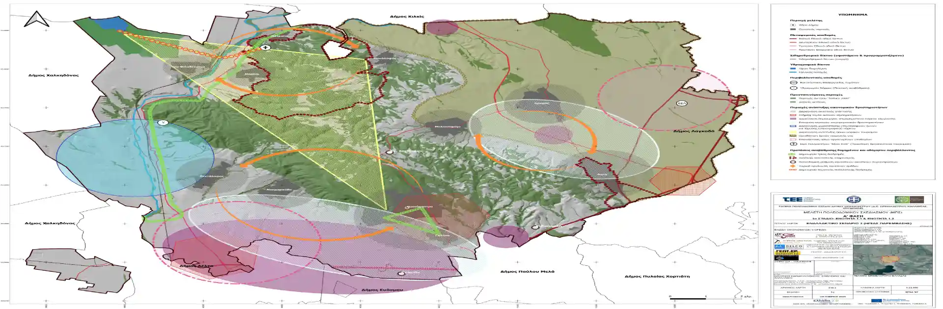
Local Urban Plan of the Municipality of Oraiokastro (Municipal Units of Oraiokastro, Kallithea and Mygdonia)
On 30.09.2024, a Contract was signed between the Consortium “GAIA S.A. ΜΕΛΕΤΟΝ – D. MAMOUNIS AND Partners” – “TZIRINIS APOSTOLOS OF THEMISTOKLES” – “DELCO E.P.E. – N. DELIGIANNIDIS & CO. General and Specialized Consulting Engineers E.P.E.” – “GEORGIOS DIDASKALOU & CO. E.P.” with the registered office “GEOTER – DIDASKALOU E.P.” – “KONSTANTINOS, NIKOLAOS, DIMITRIOS CHATZIS O.E.” trading as “DKNDENGINEERS O.E.” and the Technical Chamber of Greece for the preparation of the study entitled ” Local Urban Plan of the Municipality of Oraiokastro (Municipal Units of Oraiokastro, Kallithea and Mygdonia)”.
The study being prepared for the Municipality of Oraiokastro is a first-level urban planning study under Law 4759/2020. It forms part of the “Konstantinos Doxiadis” Urban Planning Reform Programme, which aims to ensure the rapid and effective completion of spatial and urban planning across the country. The study is being developed in accordance with the new specifications for Local Urban Plans (Government Gazette B 3545/2021) and the revised urban planning standards (Government Gazette D 200/2024).
The Local Urban Plan (LUP) study is a complex process that includes, in addition to the main spatial planning study, a Strategic Environmental Assessment (SEA) of the proposed spatial planning interventions, a Geological Suitability Assessment for newly designated urban development areas, as well as a study for the temporary demarcation study of streams and the accompanying topographic survey.
The goal of the study is to highlight the municipality’s natural environment, strengthen existing economic activities and develop new ones, upgrade the network of social and technical infrastructure, improve the quality of life for residents and visitors, and protect the areas from natural disasters.
Through the Local Urban Plan, the development potential of the areas will be identified, land uses and building regulations will be defined across the entire extent of the Municipal Units under consideration as well as within the settlements, any needs for residential expansions, tourism development areas, productive activity zones, etc., will be determined, and the required actions and infrastructure projects will be established with a 15-year horizon.
Within the framework of the Local Urban Plan (LUP) study and in accordance with the new Presidential Decree regarding the boundary delineation of the settlements with a population under 2.000 inhabitants (Government Gazette D 194/2025), the Boundary Delineation / Re-approval / Re-delineation of the Municipalities’ settlements with a population under 2.000 inhabitants is also carried out, taking into account the criteria of the said Presidential Decree.
The Local Urban Plan (LUP) constitutes a fundamental prerequisite for the future sustainable development of the Municipality. It aims to ensure a high quality of life for residents, promote and protect the natural and cultural environment, create new opportunities for economic and investment activities, and serve as the key strategic tool for the overall spatial planning of the Municipality.
The main characteristics of the study area are the commercial and industrial activity south and east of the Municipality and along the main road axes, the concentration of services in the largest settlements (Oraiokastro and Liti), as well as the Municipality’s natural and cultural features. The area is strategically located along key road axes in close proximity to the Thessaloniki Urban Area. Furthermore, it possesses a variety of archaeological sites and monuments.
According to the requirements of the study and the technical specifications of the LUPs, cartographic representation is carried out using a Geographic Information System (G.I.S.). Therefore, appropriate GIS software was used for the preparation of the study, such as QuantumGIS (QGIS: http://qgis.org/), an open-source application in which the consortium has extensive experience, and which is used for creating, modifying, analyzing, and presenting geographic data. Within the QGIS user interface (as in other similar GIS programs), there is an area for displaying spatial data (map view) and an area for managing the map legend, where the names and symbols of the data are listed. The main advantage of QGIS (as well as other similar GIS programs) is its ability to import, visualize, manage, modify, and create data contained within a PostgreSQL database, in accordance with the PostGIS extension standard (both of which are also open-source applications).