Cadastre - Topographic Studies - Geographic Information Systems - GIS
Photogrammetry
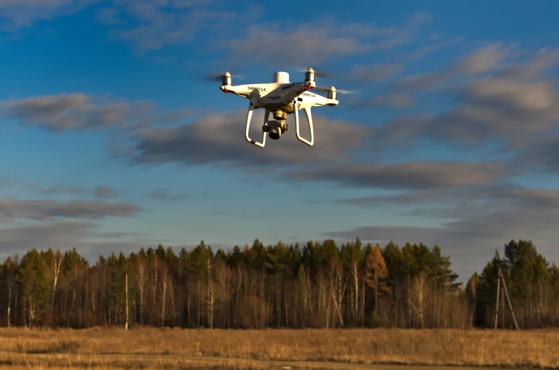
We provide specialized photogrammetry services, utilizing modern imaging technologies with unmanned aerial vehicles (UAV/drones) and SLAM (Simultaneous Localization and Mapping) systems for the accurate and reliable recording of space.
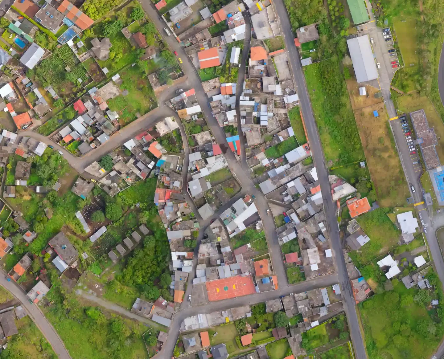
Photogrammetry applications are integrated into a variety of technical studies, allowing the production of high-resolution geospatial data and the imaging of areas and structures with speed, safety and high accuracy.
The Company has experience in applying photogrammetric methods in projects such as:
Stream demarcation studies
Settlement demarcation studies
Preparation of topographic diagrams
Road network mapping
Mapping of Renewable Energy Sources (RES) installations
Building impressions (exterior and interior)
In this context, services such as:
Aerial photography using drones and flight planning
Data collection with SLAM technology to capture complex, closed or inaccessible spaces (e.g. interior spaces of buildings)
Production of high-resolution orthophoto maps
Creation of digital terrain models (DTM) and surface models (DSM)
Production of 3D models and point clouds
Capture building elevations and geometry in high detail
Extraction of topographic and geometric information for use in studies
Integration of the generated data into a GIS environment
Data processing is carried out with specialized photogrammetry software, ensuring high accuracy and compatibility with the requirements of technical studies and applicable specifications.