Cadastre - Topographic Studies - Geographic Information Systems - GIS
Cadastre and GIS project
We utilize Geographic Information Systems (GIS) as a key tool for organizing, managing and analyzing geospatial data in all of our studies. The use of GIS is integrated into all stages of the projects, from data collection and processing to the production of cartographic backgrounds and the documentation of the results.
Our Company has significant experience in the application of GIS in spatial planning and technical studies projects, such as:
Studies of Local and Special Urban Plans (TLP – EPS)
Geological Suitability Studies
Road network recording and geospatial analysis
Hydrogeological and environmental studies
In this context, the Company provides specialized GIS services, such as:
Digitization of geospatial data and their organization in geodatabases
Management and processing of large volumes of spatial data in database environments (PostGIS)
Support for simultaneous work of multiple users (multi-user environment)
Topology and data quality checks (topology & quality control)
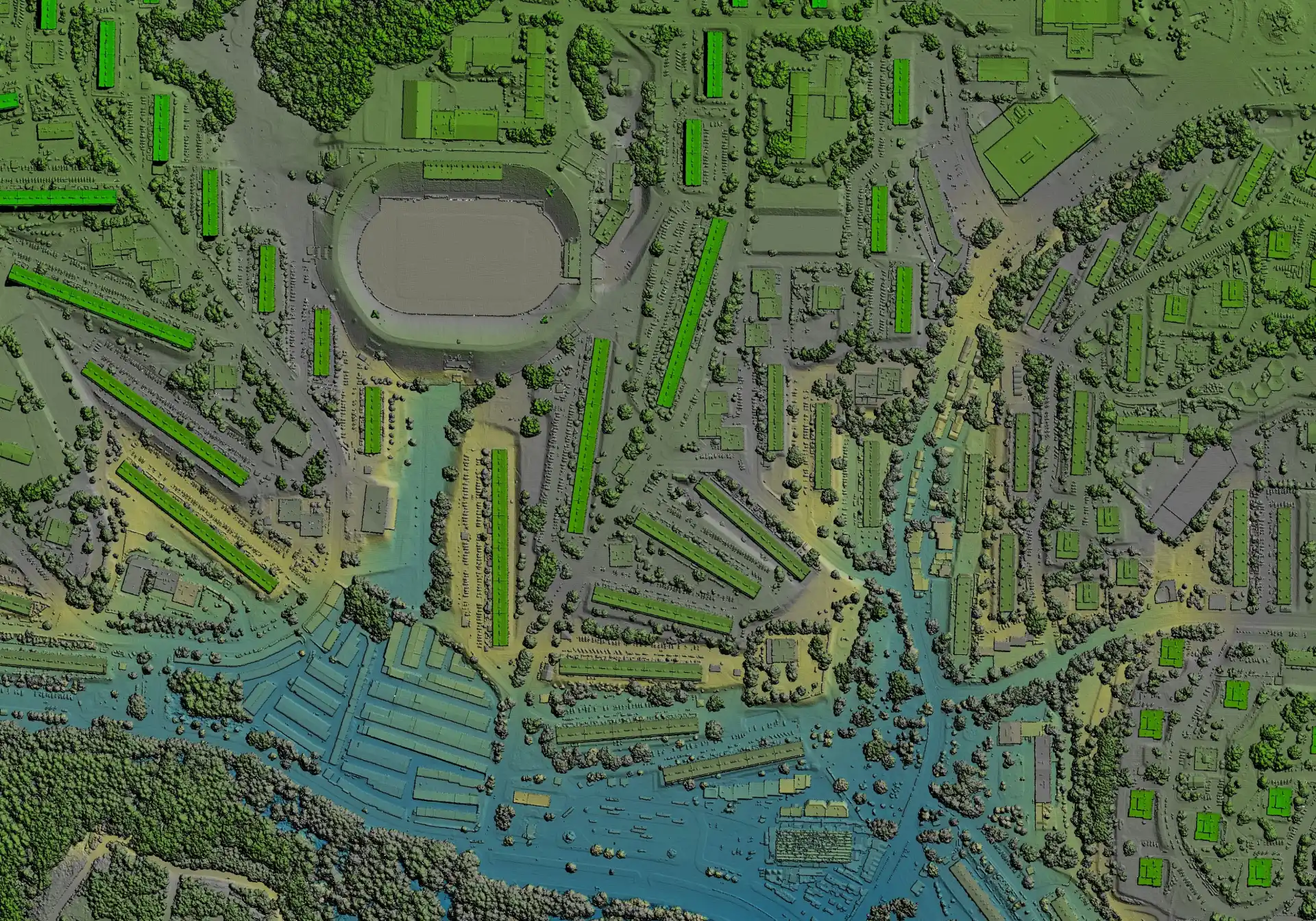
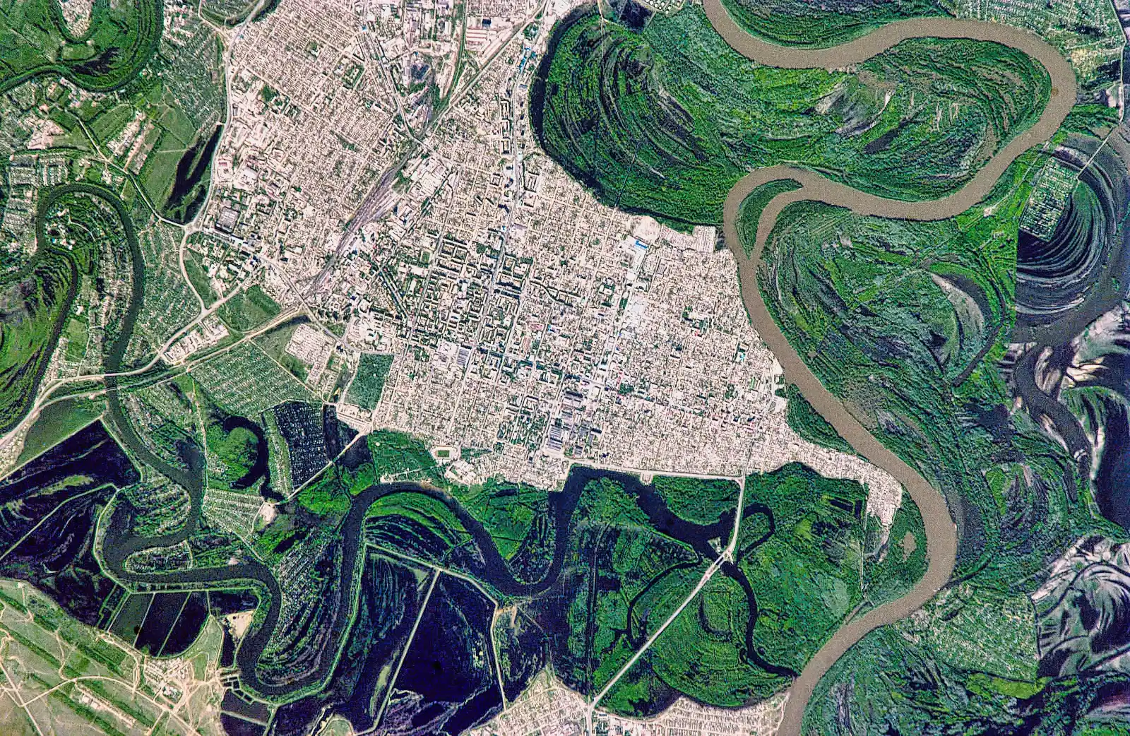
Processing and utilization of aerial photographs and satellite data (historical and modern)
Production of thematic maps and cartographic backgrounds according to technical specifications
Supporting documentation and decision-making processes in spatial planning projects
The development and management of geospatial data is carried out in accordance with applicable European and national guidelines for data and metadata, ensuring their consistency, quality and interoperability.